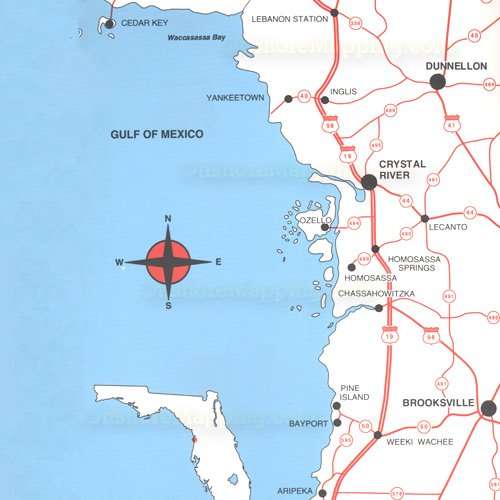
Top Spot Map N-201, Florida Homosassa Area - Cedar Key, Yankeetown, Crystal River, Aripeka, Hudson, Bayport, Chassahowitzka, Spring Hill, Homosassa. Gulf of Mexico Fishing and Diving Recreation Map. Inshore
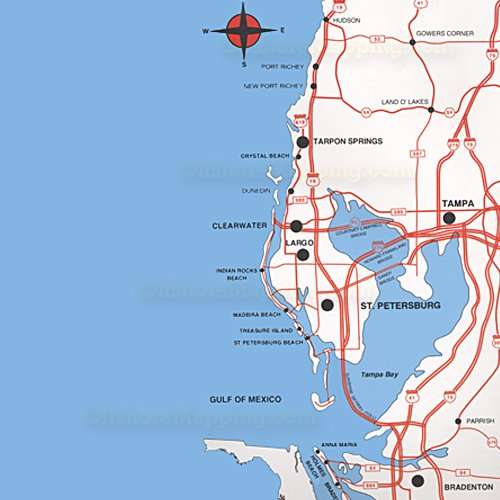
Top Spot Map N-202, Florida Tampa Bay Area - Port Richey, Tarpon Springs, Clearwater, Sarasota Bay, Venice, Crystal Beach, Dunedin, Clearwater, Indian Rocks Beach, Madeira Beach, Treasure Island, St. Petersburg Beach, Anna Maria. Gulf of Mexico Fishing and Diving Recreation Map.
Top Spot Map N-203, Florida Charlotte Harbor Area - Lemon Bay, Boca Grande, Peace River, Caloosahatchee River, Estero Bay, Crescent Beach, Osprey, Nokomis, Manasota Beach, Englewwod, Cape Haze, Gasparilla, Bokeelia, Pineland, Captiva, Punta Rassa, Sanibel. Gulf of Mexico Fishing and Diving Recreation Map.
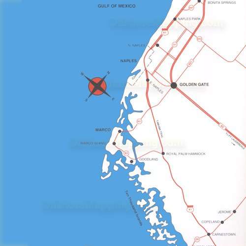
Top Spot Map N-204, Florida 10000 Islands Area - Wiggins Pass, Naples, Marco Island, Everglades City, Huston River, Chokoloskee, Goodland. Gulf of Mexico Fishing and Diving Recreation Map.
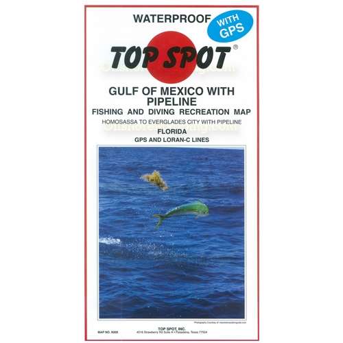
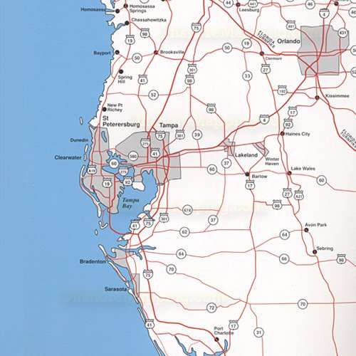
Top Spot Map N-205, Florida. Includes Pipeline. Homossassa to Everglades City. Cedar Key, Yankeetown, Bayport, St. Petersburg, Dunedin, Clearwater, Tampa Bay, Bradenton, Sarasota, Charlotte Harbor, Crystal River. Gulf of Mexico Fishing and Diving Recreation Map.
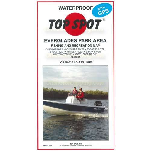
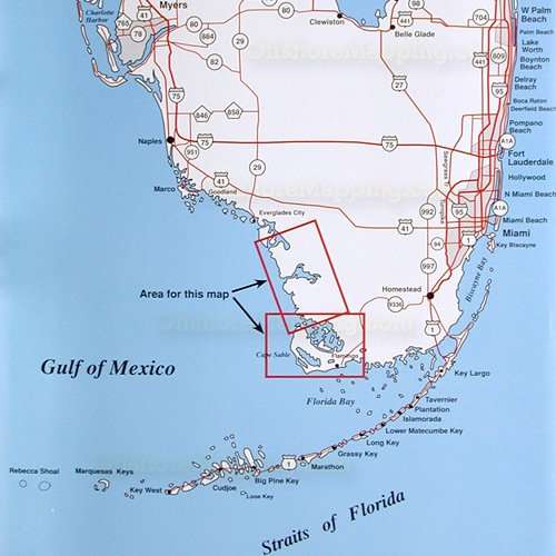
Top Spot Map N-206, Florida Chatham River, Lostmans River, Rodgers River, Broad River, Harney River, Shark River, Whitewater River, North Florida Bay, Cape Sable. Gulf of Mexico Fishing and Diving Recreation Map.
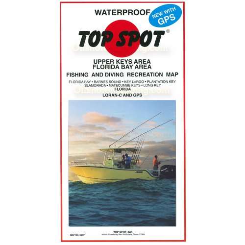
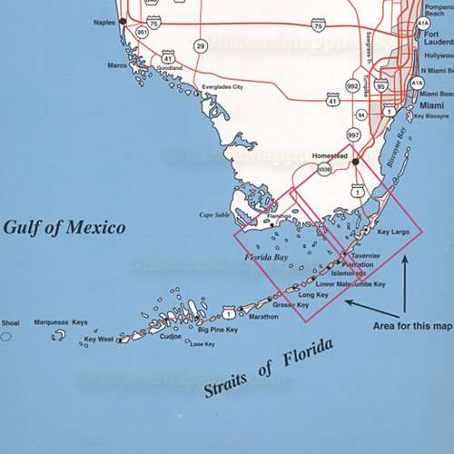
Top Spot Map N-207, Florida Upper Keys Area - Florida Bay, Barnes Sound, Key Largo, Plantation Key, Islamorada, Matecumbe Keys, Long Key, Tavernier, Lower Matecumbe Key, Flamingo. Florida Bay, Straits of Florida Fishing and Diving Recreation Map.
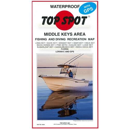
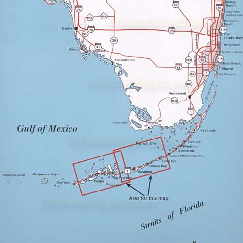
Top Spot Map N-208, Florida Middle Keys Area - Long Key, Duck Key, Grassy Key, Deer Key, Bahia Honda Key, Big Pine Key, Cudjoe Key, Sugarloaf Key, Saddlebunch Key, Boca Chica Key, Marathon. Gulf of Mexico, Straits of Florida, Florida Bay Fishing and Diving Recreation Map.
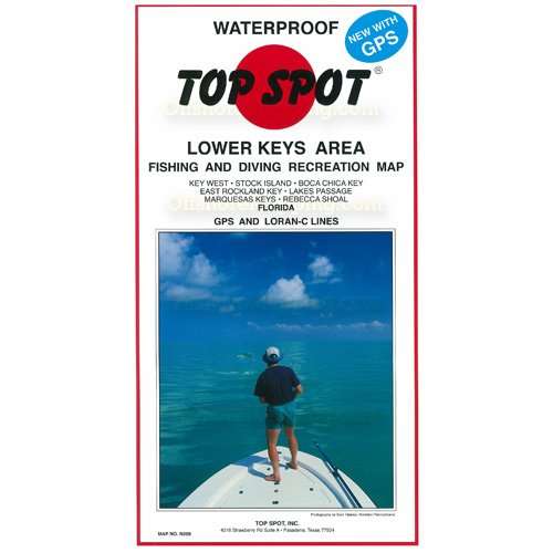
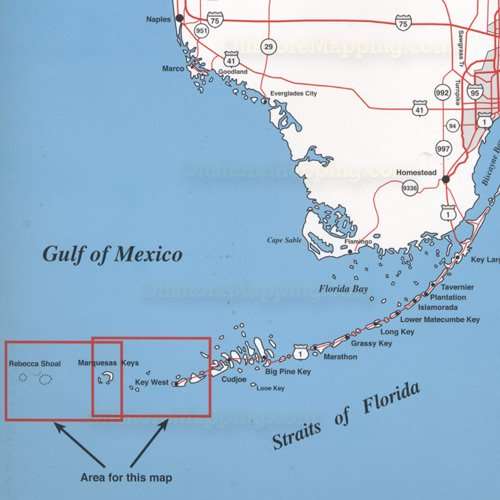
Top Spot Map N-209, Florida Lower Keys Area - Key West, Stock Island, Boca Chica Key, East Rockland Key, Lakes Passage, Marquesas Keys, Rebecca Shoal. Gulf of Mexico, Straits of Florida Fishing and Diving Recreation Map.
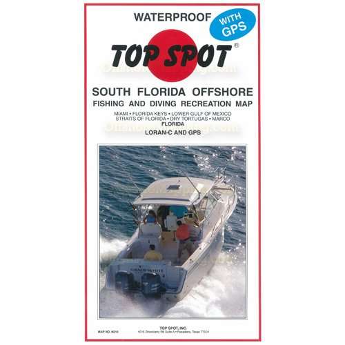
Top Spot Map N-210, Florida Miami, Florida Keys, Lower Gulf of Mexico, Key West, Stock Island, Boca Chica Key, East Rockland Key, Lakes Passage, Marquesas Keys, Rebecca Shoal., Dry Tortugas, Marco. Gulf of Mexico, Straits of Florida, Florida Bay, Atlantic Ocean Fishing and Diving Recreation Map.
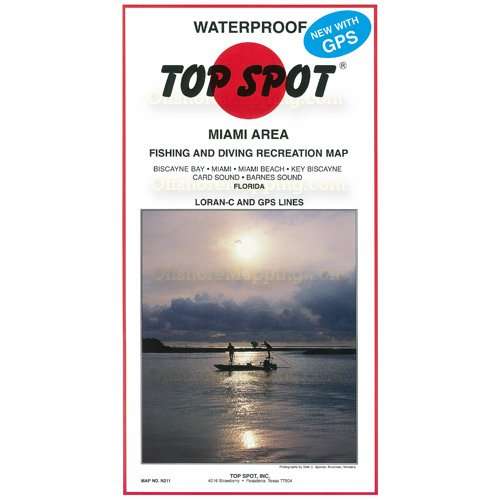
Top Spot Map N-211, Florida Miami Area - Biscayne Bay, Miami, Miami Beach, Key Biscayne, Card Sound, Barnes Sound. Atlantic Ocean Fishing and Diving Recreation Map.
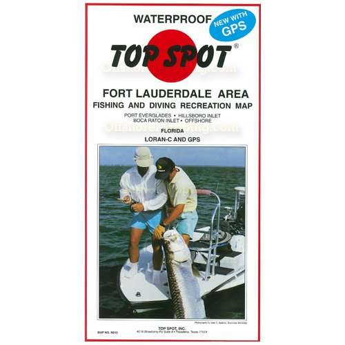
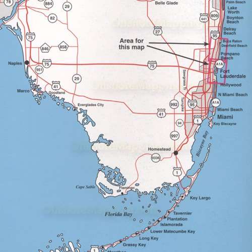
Top Spot Map N-212, Florida Fort Lauderdale Area - Port Everglades, Hillsboro Inlet, Boca Raton Inlet, Deerfield Beach, Pompano Beach, Offshore. Atlantic Ocean Fishing and Diving Recreation Map.
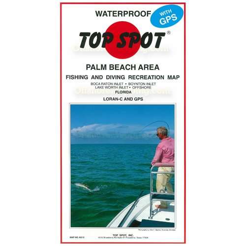
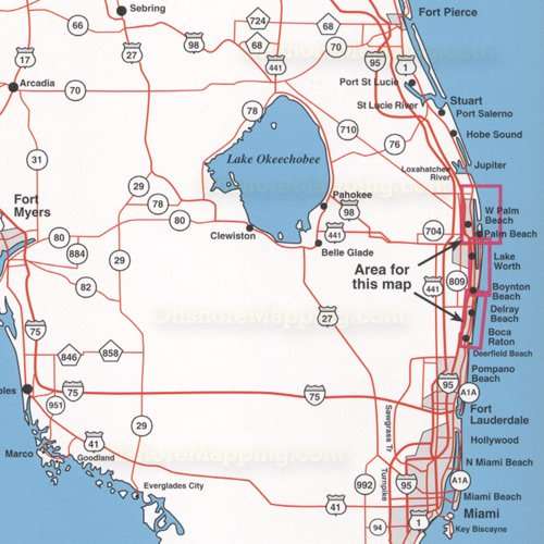
Top Spot Map N-213, Florida Palm Beach Area - Boca Raton Inlet, Boynton Inlet, Lake Worth Inlet, West Palm Beach, Delray Beach, Offshore. Atlantic Ocean Fishing and Diving Recreation Map.
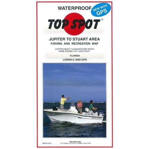
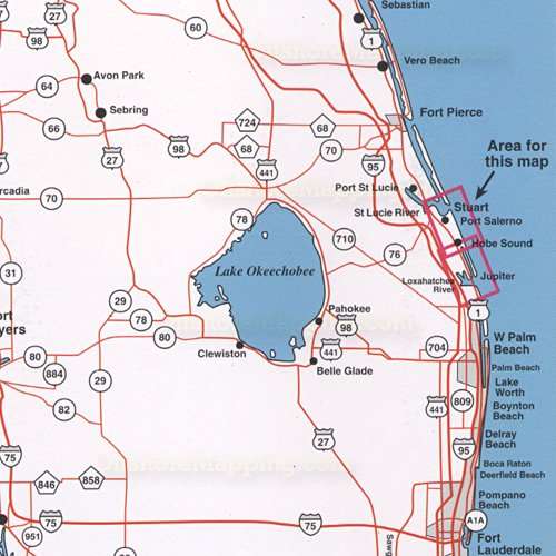
Top Spot Map N-214, Florida Jupiter to Stuart Area - Jupiter Inlet, Loxahatchee River, Hobe Sound, St. Lucie Inlet, Port Salerno. Atlantic Ocean Fishing and Diving Recreation Map.
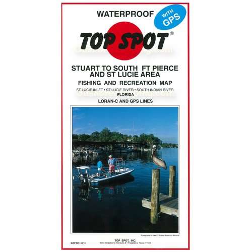
Top Spot Map N-215, Florida Stuart to South Ft. Pierce and St. Lucie Area - St. Lucie Inlet, St. Lucie River, South Indian River. Atlantic Ocean Fishing and Diving Recreation Map.
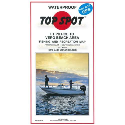
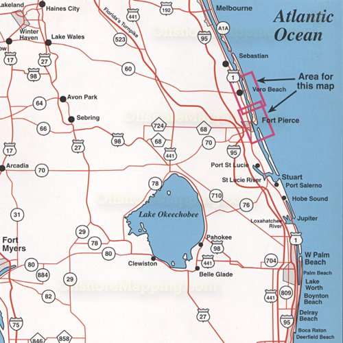
Top Spot Map N-216, Florida Ft. Pierce to Vero Beach Area - Ft. Pierce Inlet, South Indian River. Atlantic Ocean Fishing and Diving Recreation Map.
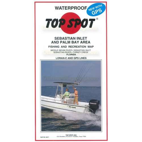
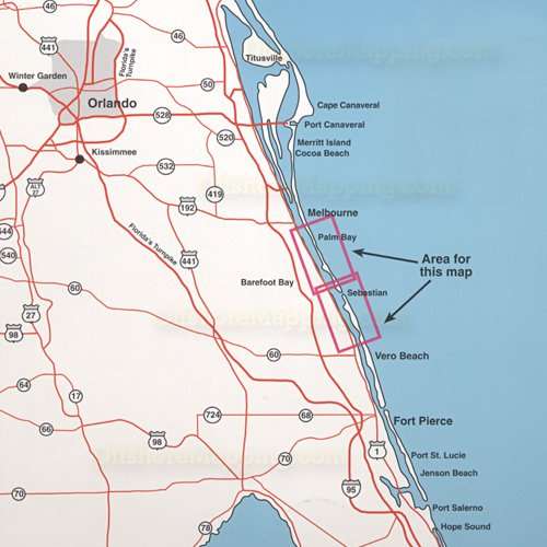
Top Spot Map N-217, Florida Sebastian Inlet and Palm Bay Area - Middle Indian River, Sebastian Inlet, Sebastian River, Turkey Creek. Atlantic Ocean Fishing and Diving Recreation Map.
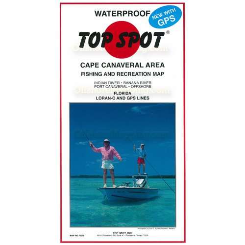
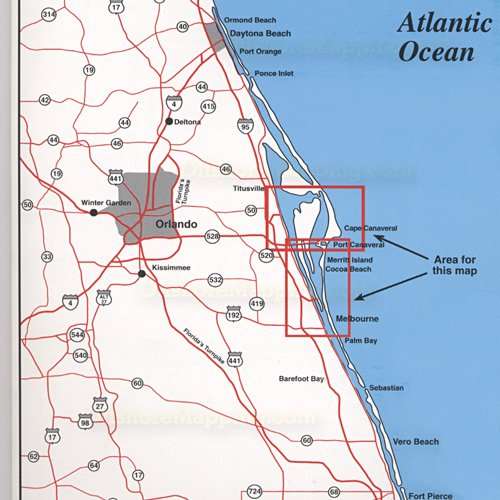
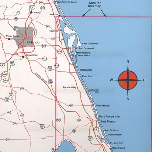
Top Spot Map N-218, Florida Cape Canaveral Area - Indian River, Banana River, Port Canaveral, Cocoa Beach, Merritt Island, Melbourne, Offshore. Atlantic Ocean Fishing and Diving Recreation Map.
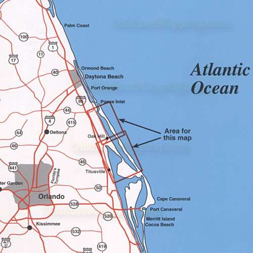
Top Spot Map N-219, Florida Mosquito Lagoon Area - North Indian River, North and South Mosquito Lagoon, Titusville, Oak Hill. Atlantic Ocean Fishing and Diving Recreation Map.
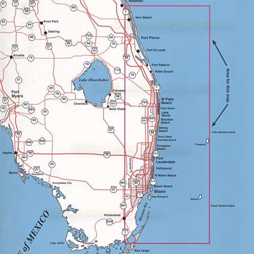
Top Spot Map N-220, Florida East Florida Offshore - Port Canaveral, Sebastian Inlet, Ft. Pierce Inlet, St. Lucie Inlet, Jupiter Inlet, Lake Worth Inlet, Merritt Island, Cocoa Beach, Vero Beach, Jenson Beach, Hope Sound. Atlantic Ocean Fishing and Diving Recreation Map.
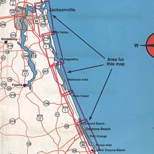
Top Spot Map N-221, Florida Daytona Beach to Jacksonville Area - Ponce Inlet, Halifax River, Matanzas Inlet, Matanzas River, St. Augustine Inlet, Mayport Inlet, Palm Valley, Palm Coast, Ormond Beach, Port Orange. Atlantic Ocean Fishing and Diving Recreation Map.
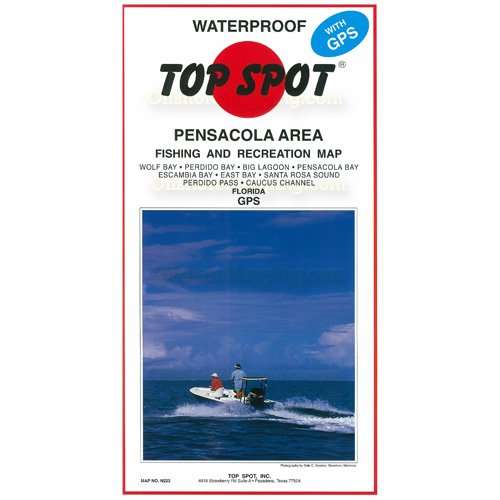
Top Spot Map N-223, Florida Pensacola Area - Wolf Bay, Perdido Bay, Big Lagoon, Pensacola Bay, Escambia Bay, East Bay, Santa Rosa Sound, Perdido Pass, Caucus Channel, Gulf Shores, Gulf Beach, Woodlawn Beach, Navarre, Holley. Gulf of Mexico Fishing and Diving Recreation Map.
Top Spot Map N-224, Florida Southeast Florida Offshore. Miami, Bimini, Biscayne Bay, Fort Lauderdale, West Palm Beach, Port St. Lucie, Fort Pierce, Winter Beach, Hollywood, Pompano Beach, Boca Raton, Delray Beach, Boynton Beach, Lake Worth, Hobe Sound, Port Salerno, Vero Beach. Atlantic Ocean Fishing and Diving Recreation Map.
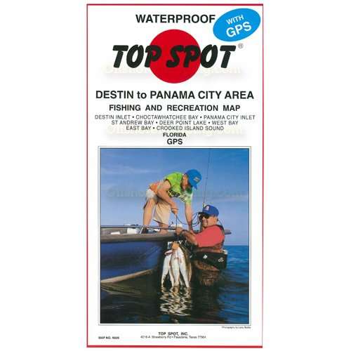
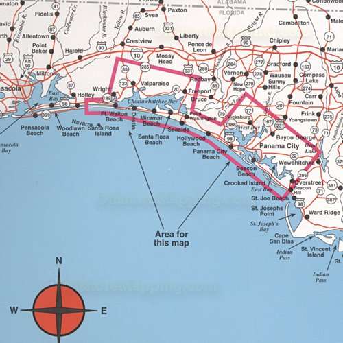
Top Spot Map N-225, Florida Destin to Panama City Area - Destin Inlet, Choctawhatchee Bay, Panama City Inlet, St. Andrew Bay, Deer Point Lake, West Bay, East Bay, Crooked Island Sound, Fort Walton Beach, Miramar, Destin, Seaside, Crooked Island, Beacon Beach. Gulf of Mexico Fishing and Diving Recreation Map.
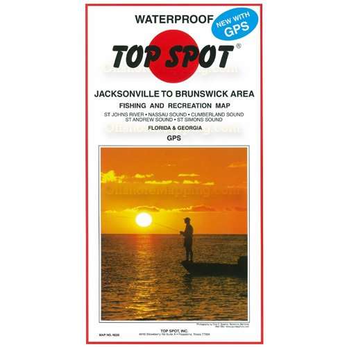
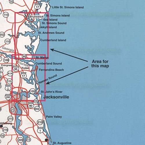
Top Spot Map N-226, Florida Jacksonville to Brunswick Area - St. Johns River, Nassau Sound, Cumberland Sound, St. Andrew Sound, St. Simons Sound, Sea Island, Jekyll Island, St. Marys, Fernandina Beach. Atlantic Ocean Fishing and Diving Recreation Map.
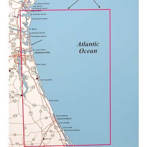
Top Spot Map N-227, Georgia, Florida Oak Hill, Florida to Cumberland, Georgia. St. Andrews Sound, Cumberland Island, St. Marys, Nassau Sound, Jacksonville, Palm Vally, St. Augustine, Palm Coast, Daytona Beach, Ponce Inlet, New Smyrna Beach. Atlantic Ocean Fishing and Diving Recreation Map.
Top Spot Map N-228, Florida, Alabama Perdido Bay Alabama to Homosassa Florida. Pensacola, Ft. Walton, Miramar, Panama City, Crooked Island, St. Josephs Point, Cape San Blas, Indian Pass, St. Vincent Island, St. George Island, Lighthouse Point, Apalachee Bay, Steinhatchee, Hog Island, Cedar Key, Crystal River. Gulf of Mexico Fishing and Diving Recreation Map.
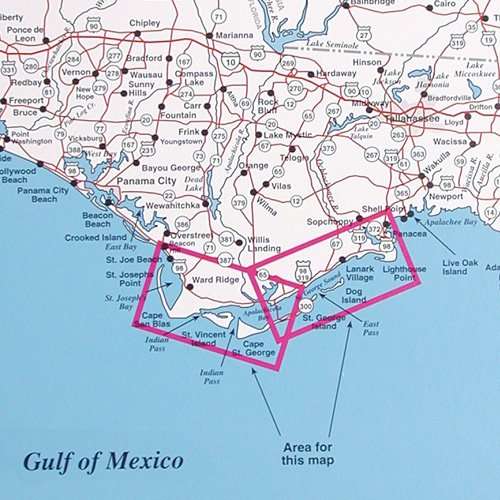
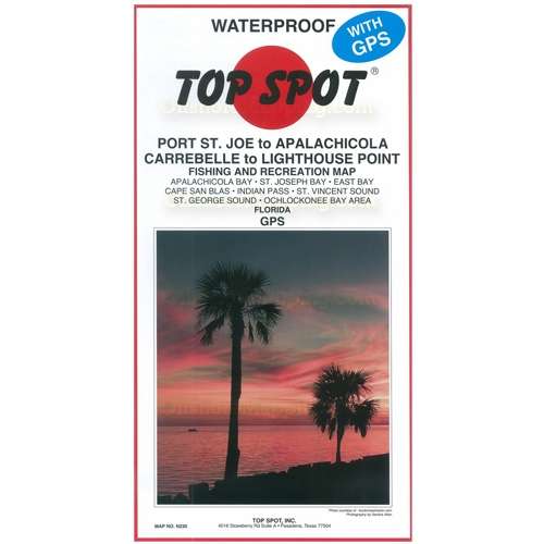
Top Spot Map N-230, Florida Carrabelle to Lighthouse Point, Florida. Apalachicola Bay, St. Joseph Bay, East Bay, Cape San Blas, Indian Pass, St. Vincent Sound, St. George Sound, Ochlockonee Bay Area. Gulf of Mexico Fishing and Diving Recreation Map.
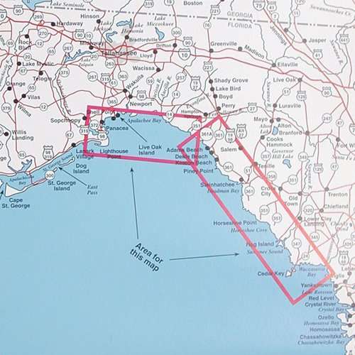
Top Spot Map N-231, Florida Panacea to Apalachee Bay area and Steinhatchee to Cedar Key North, Florida. St. Marks River, Acuilla River, Steinhatchee River, Horseshoe Cove, Suwannee River Sound, Waccasassa Bay. Gulf of Mexico Fishing and Diving Recreation Map.